Laser Scanning
We deploy various technologies to offer the best survey solutions for our clients. Laser scanning and reality capture technologies are utilised in all sectors in which we operate. We provide rapid data collection, processing and presentation of 3D colourised point clouds from field to the client.
Why Use Laser Scanning?
It is a complete data capture solution. The scanner does not discriminate and will measure whatever it can see within a given radius.
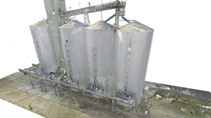
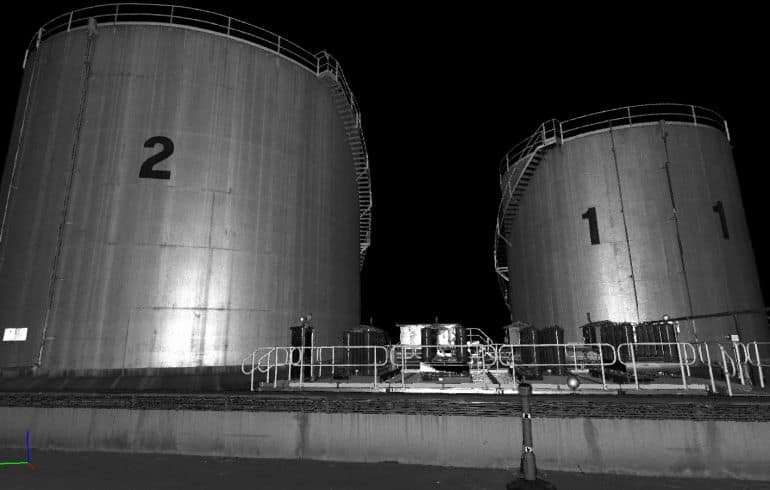
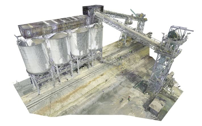
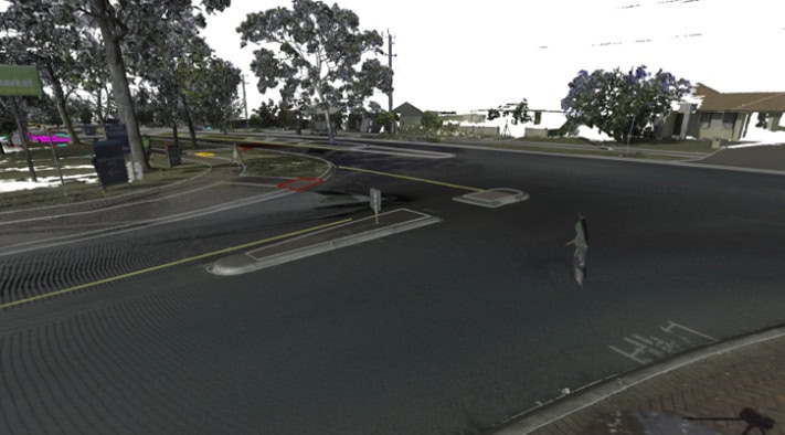
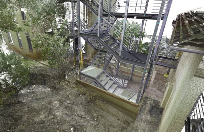
Laser scanners create point clouds, which can be colourised using photography taken from the viewpoint of the instrument. This will create a 3D model of the land and structures surrounding the scanner.
Applications
This has a number of applications and is typically used for:
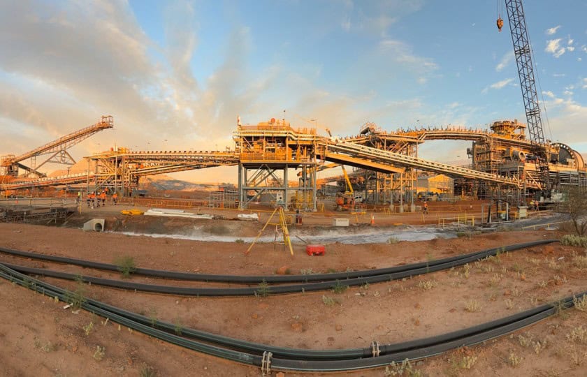
- As-built data of complex structures such as plant, platforms or concrete
- Point clouds for high detail for design
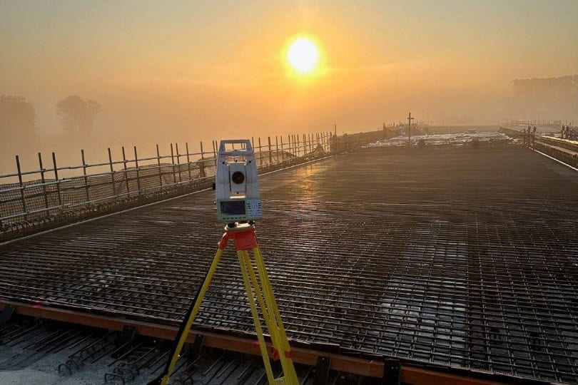
- Deformation surveys
- Road pickup
- Modelling (LOD300)
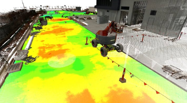
- Concrete flatness and deviation
- Building information models and fly throughs
- Void scanning
- Stockpile volumes
- Asset management
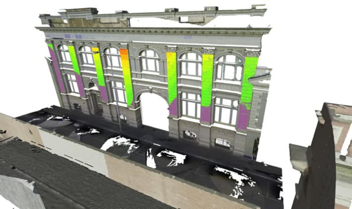
- BIM model to scan comparison

Recent Projects
Some of our latest projects involving Laser Scanning include:
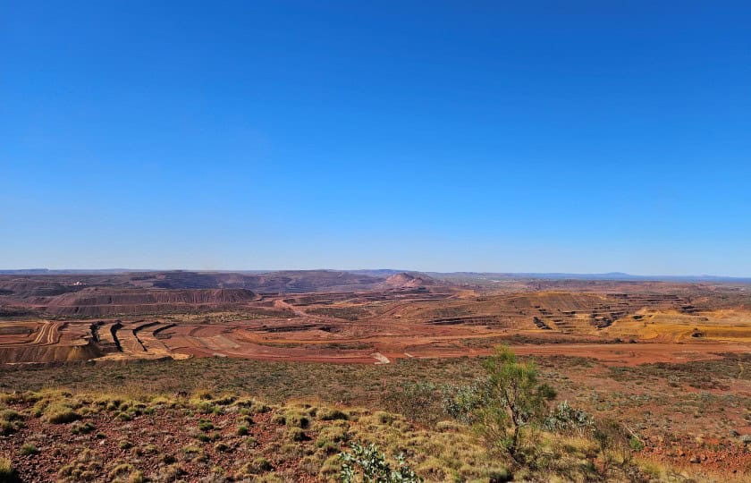
- Pilgangoora Transfer station
- Solomon Minesite various structures
- Kellerberin outloading facility
- Cape Lambert Screen House Refurbishment
- Hope Downs Conveyor Upgrades
- Cockburn Cement Stockpile Volumes
- Whaleback Fuel Facility Upgrades
- Cloudbreak Pulley scan
- Fremantle building façade
- City of Wanneroo Road Scan
Jurovich Surveying
To get the best out of utilising laser scanning in one of your projects, contact us. We have offices in Perth, Sydney, Melbourne, Adelaide and Brisbane.